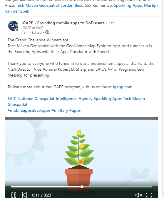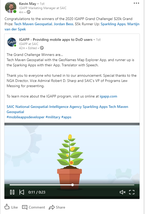
Tech Maven geospatial is proud to support the new place key location index
We have integrated it in our mobile apps
- Go to coordinate
- coordinate converter
- location share feature
“y”: “31.77311933”,
“x”: “-86.86645512”,
“gars”: “187LD18”,
“what3words”: “cook.breezed.beanstalk”,
“pluscode”: “863MQ4FM+6C”,
“mgrs”: “16REA1264415295”,
“elevation”: 115.82,
“placekey”: “@8gn-2n3-3yv”

")
Go To Coordinate

Coordinate Converter
PlaceKey support will be added to:
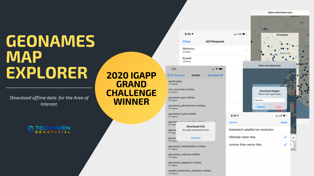
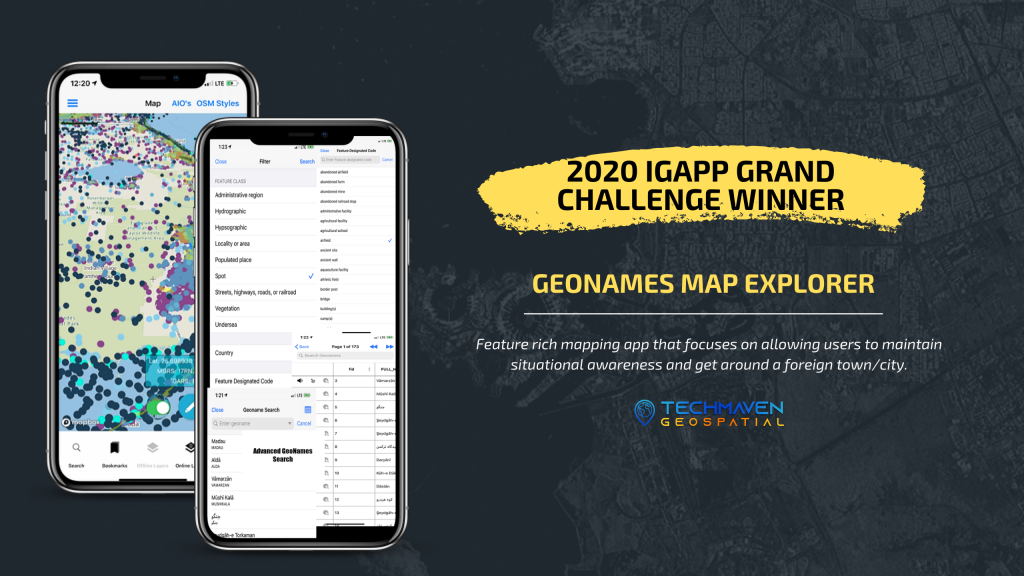
1.2 GeoNames Map Explorer iOS
1.1 Earth Explorer 3D Map App for Apple App Store and Google Play Store and 1.0 of Geoint App store
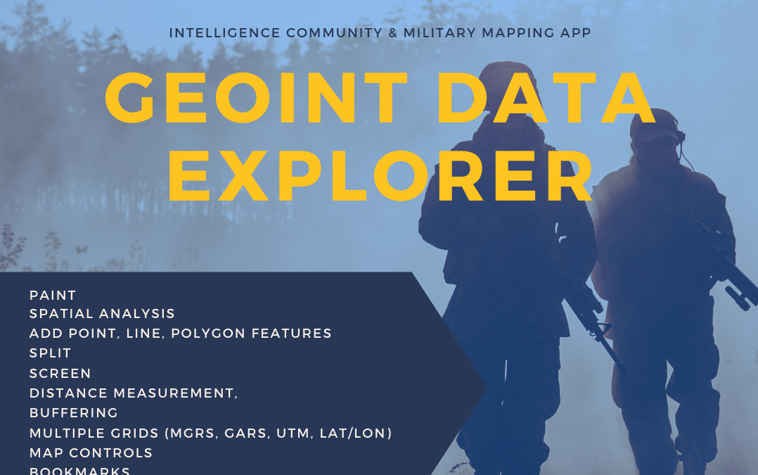
1.1 GEOINT Data Explorer
1.1 Geo Data Explorer Android Google Play
1.0 Geo Data Explorer iOS Apple App Store
1.0 MapDiscovery iOS and Android
1.1 Portable Tile Server
Earth Explorer 3D Map app iOS and Android with PlaceKey support
Go to PlaceKey
Convert PlaceKey to Lat Long (coordinate converter)


")
")