
Our Latest News
We are excited about the roadmap of products and services, data and apps we are planning.
GeoWeek Denver Feb 2025
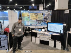
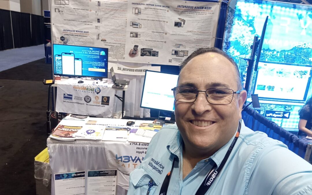
We exhibited Booth 1628 Showcasing both Tech Maven Geospatial - Geospatial Cloud Serv https://geospatialcloudserv.com and integrated mobile apps and QGIS Plugin and Edge Data Processing and Data Serving Solutions that form a complete solution as well as Live Tech...
FOSS4G Presentation Proposal: Using WebAssembly packages to deliver stand-alone GIS Web Apps
FOSS4G NA 2024 FOSS4G NA Presentation Proposal: Using WebAssembly packages to deliver stand-alone GIS Web AppsThank you for submitting your presentation proposal titled "Using WebAssembly packages to deliver stand-alone GIS Web Apps" for this year's FOSS4G NA 2024. We...
FOSS4G NA 2024 – Presentation Open Data Discovery and Viewing in Terriajs
FOSS4G NA 2024 FOSS4G NA Presentation Proposal: Open Data Discovery and Viewing in TerriajsThank you for submitting your presentation proposal titled "Open Data Discovery and Viewing in Terriajs" for this year's FOSS4G NA 2024. We will notify the primary contact once...
Participation in the OGC GPKG Vector Tiles RBT Basemap Code Sprint and Engineering Report
Tech Maven Geospatial is participating in the Releasable Basemap Tiles GeoPackagehttps://portal.ogc.org/files/artifactWe were asked to participate by the Open Geospatial Consortium (OGC) and the US Army Geospatial Center the goal is to develop a draft specification...
participated in OGC Code Sprint Tiling Interfaces and GeoPackage Extensions
Jordan Bess participated in OGC Code Sprint for Tiling Interfaces and GeoPackage Extensions Tech Maven Geospatial products are being updated to support OGC GPKG GeoPackage with Vector Tiles inside based on the new proposed extensions Tile Utilities - assembly GPKG...
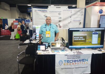
Tech Maven Geospatial is exhibiting at GEOINT SYMPOSIUM 2023
Speaking GEOINT SYMPOSIUMExhibiting at GEOINT SYMPOSIUM in St Louis Missouri USA in May 21-24 Booth 1934 Halls 1-4 — 1934Tech Maven Geospatial is exhibiting at GEOINT SYMPOSIUM 2023 Monday, May 21 to Wednesday, May 24 Booth 1934 Use the link(s) below to share your...
Get Ready for GEOINT SYMPOSIUM 2023
Speaking GEOINT SYMPOSIUM Tech Maven Geospatial Presenting on GEOINT SYMPOSIUM Exhibiting at GEOINT SYMPOSIUM in St Louis Missouri USA in May 21-24 Exhibitor Booth # 1934 The owner /Sr. Geospatial Data Engineer and Chief Software Solutions Architect will be...
Natural Disasters Expo Miami Beach Florida USA March 2023
Speaking/Presenting and Exhibiting (booth 870) at Natural Disasters Expo Slidedeck from Natural Disasters
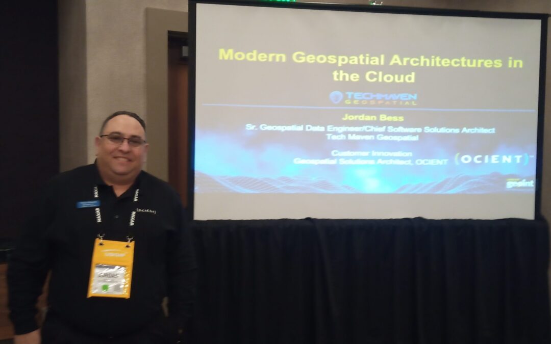
Presenting/Speaking at GEOINT SYMPOSIUM about Modern Geospatial architectures in the Cloud
Jordan Bess owner of Tech Maven Geospatial will be presenting Modern Geospatial architectures in the Cloud Tuesday, April 26th from 7:30-8:30 am MT in Willow Lake 1-2. https://geoint22.mapyourshow.com/8_0/sessions/session-details.cfm?scheduleid=160 agenda. [button...
GEOINT SYMPOSIUM April 2022
Tech Maven Geospatial is exhibiting at GEOINT SYMPOSIUM Monday April 25 to Wednesday April 27 Booth 2204 Use the link(s) below to share your booth location(s) with attendees: Map of Exhibition Space...

Thanks for contacting Tech Maven Geospatial Let’s Update Us We have a support ticket system. Your ticket will be directed to an expert in the Desktop, Web, or Mobile App, Software as a Service, and Data as a Service Application you have issues with.