Tech Maven Geospatial is exhibiting at GEOINT SYMPOSIUM 2023

 (4532 × 748 px)")
Speaking GEOINT SYMPOSIUM
Exhibiting at GEOINT SYMPOSIUM in St Louis Missouri USA in May 21-24
Booth 1934 Halls 1-4 — 1934
Tech Maven Geospatial is exhibiting at GEOINT SYMPOSIUM 2023
Monday, May 21 to Wednesday, May 24 Booth 1934
Use the link(s) below to share your booth location(s) with attendees:
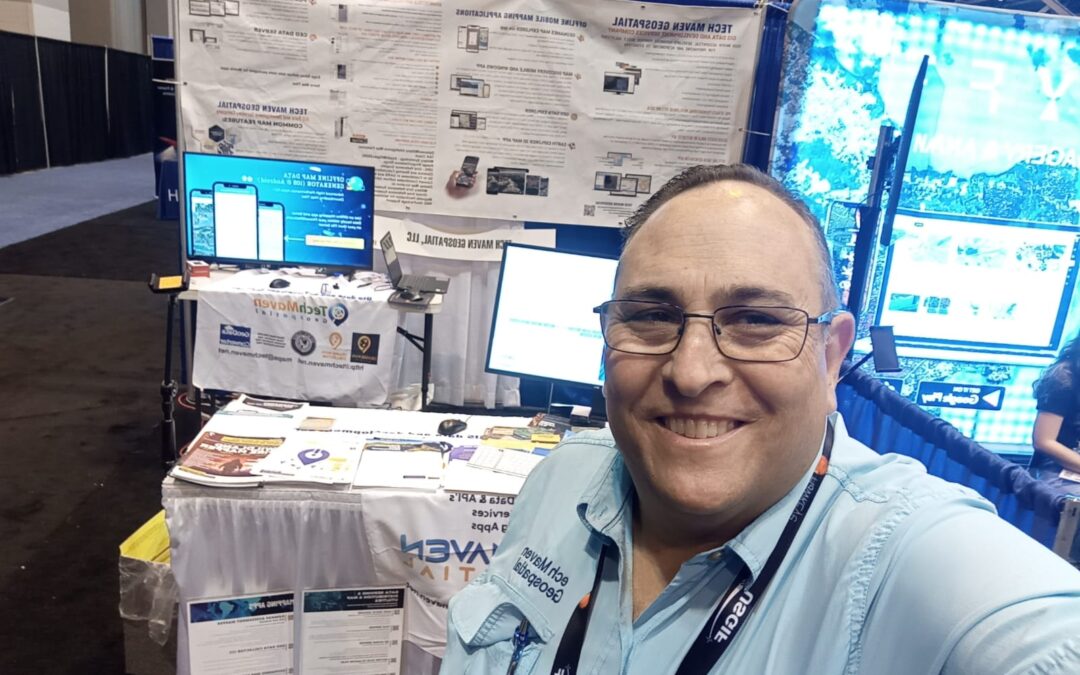
The owner /Sr. Geospatial Data Engineer and Chief Software Solutions Architect will be presenting/speaking at USGIF GEOINT SYMPOSIUM
Wednesday, May 24 from 7:30-8:30 AM CT
Preparing Geospatial Data for Offline Use in Mobile Mapping Apps
Tech Maven Geospatial will be available for demos and deep dive into our solutions and collaborations