
ANNOUNCING RELEASE OF GEOINT DATA EXPLORER ON NGA’s GEOINT APP STORE
GEOINT DATA EXPLORER – *Version 1.0.0* launched on NGA’s GEOINT APP STORE
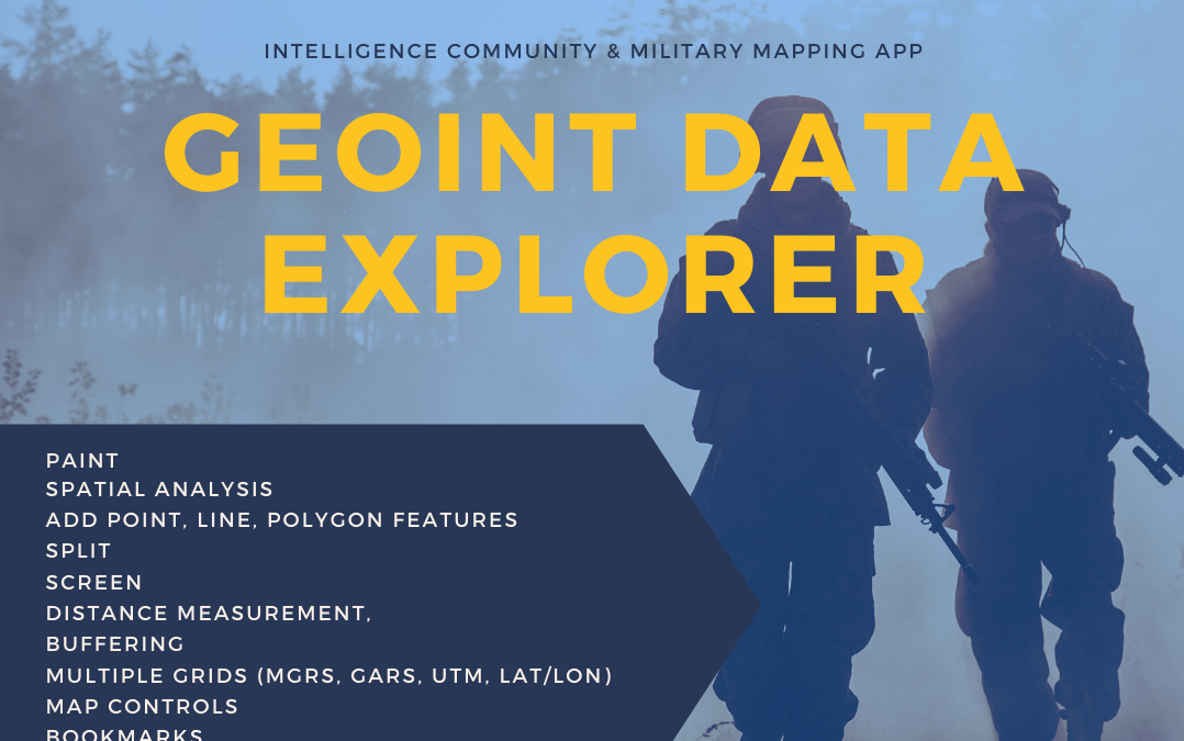
GEOINT DATA EXPLORER is a rapid data visualization and discovery mapping app that works equally well offline into disconnected limited availability environments (D-DIL) as well as when partially or fully connecting to online mapping services, tile layers and catalogs. The Map has powerful data management and built-in tools for analysis and display of geospatial data.

App Features & Capabilities
- Spatial Analysis
- Map controls
- Bookmarks
- Add point, line, polygon features
- Paint
Supported Formats:
- GeoPackage Raster Tiles
- GeoPackage Vector features
- MBTiles Raster tiles
- MBTiles Vector tiles
- MBTiles Elevation tiles
- GeoJSON
- KML
- Shapefile
- CSV point data
- GeoTagged Photos
- OpenStreetMap Basemap tiles with style picker and optional Contour and Hillshade

Shapefile

Vector Tiles MBTiles

Raster Tiles MBTiles

SPOT Elevation and Terrain Profile Views

OSM Vector Tiles

Configure Mouse Over & Labels


The app can be used for Mission Planning and pre-flight planning. Review airspaces, Elevation information and other datasets like AVDAFIF or AeroApp mbtiles.