Vector Tiles to Raster Tiles
Desktop App
(Windows, Linux, and MacOSX)
App Information:
Converts PBF Vector Tiles URL (this can come from the internet or from Geo Data Server https://geodataserver.techmaven.net/ ) with Stylesheet to PNG Raster Tiles (Folder of XYZ or MBTILES SQLite)
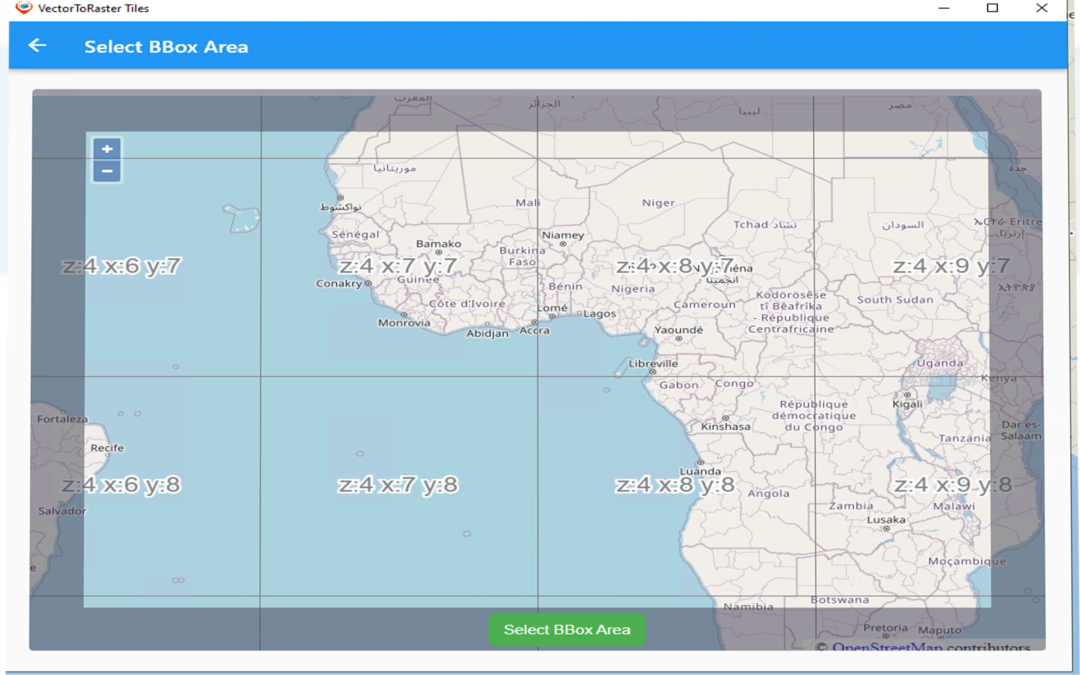
Define your area of interest (BBOX/BOUNDS) and your Min and Max Zoom Level Range
Works as a background process – enables multiple jobs to run simultaneously.
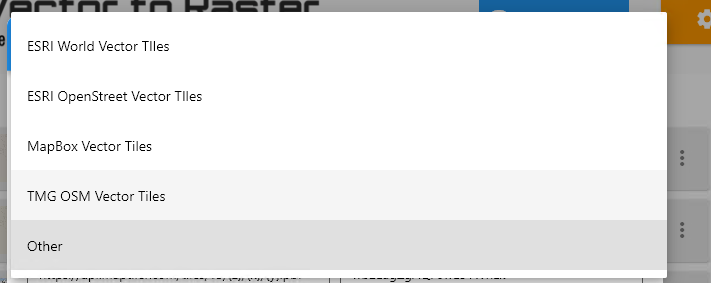
Works with basemap vector tiles data from multiple providers:
- Tech Maven Geospatial OSM Vector Tiles and styles
- MapTiler Data
- MapBox
- ESRI
- HERE Maps
Supports Overlays Vector Tiles
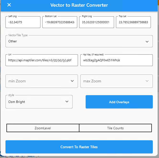
Supports styles with multiple sources (topo/terrain style with contour lines and hillshade or satellite hybrid style or other combination of data)
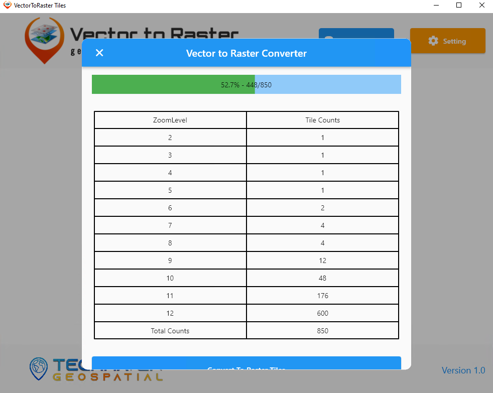
Vector to Raster Downloading
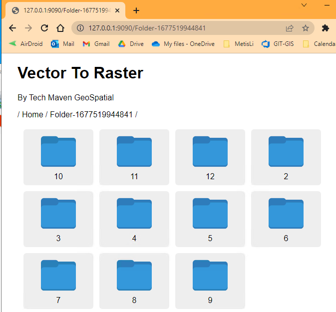
View Folder WebBrowser

Why is this valuable?
Worldwide OSM Vector Tiles is about 80 GB however many mapping applications don’t support vector tiles or complex vector tiles. This allows you to pre-cache an area of interest such as Raster Tiles.
Users of apps like ATAK, WINTAK, iTAK, and MCH can now have data they can consume.
Users of On-Premises or Edge Mapping /Common Operating Picture Solutions can now have rich basemap data available.

